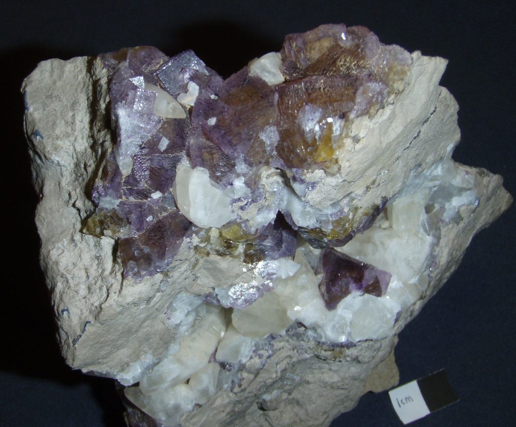
I revisited the Irvington Quarry in Breckenridge Co., KY for the first time in a decade. This time, I met with the quarry manager to tour with him, get some final details, and take pictures for the article I’m finishing for the Mineralogical Record magazine. I provided him with my knowledge from studying and collecting at the quarry since the late 1970s. A piece of trivia, my first date with Debbie included a visit to this quarry in early 1986!
We started at the lower (north) pit. That’s where the Ste. Genevieve Limestone with the zone containing fluorite, calcite, and other minerals was located. When our club visited the quarry in 2014, they were nearing the end of mining there. In 2016, it was partially flooded. It was partially drained during my visit, but the pit resembled a cross between and pond, swamp, and forest. Collecting fluorite is nearly impossible because finding loose rock is very difficult with the obstacles.
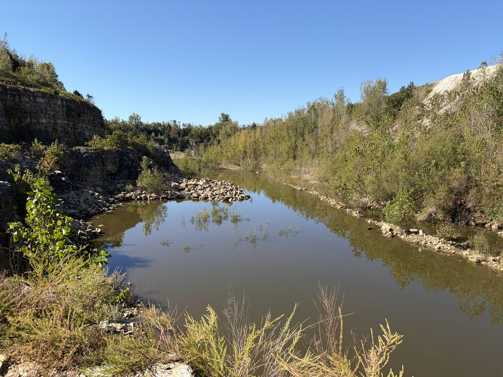
View from the top of the ledge on the north side of the lower pit, facing south. And this is the pit mostly drained!
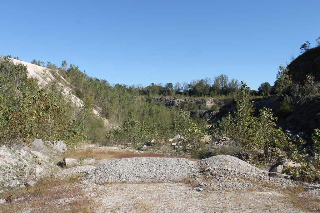
View facing north, the location where the above photo was taken is near the sunlit rock left of the foreground cottonwood tree.
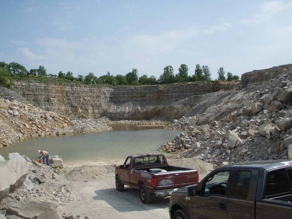
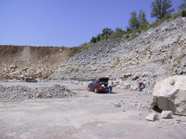
Photograph of the lower pit in 2003.
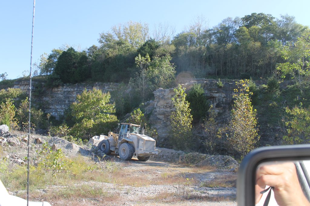
The manager had a frontend loader remove a barrier of gravel so we could drive to the north end on the bench. He wanted to show me a cave speleothem in the high wall.
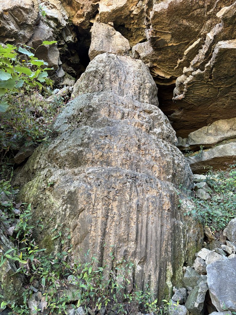
A weathered stalagmite (15 to 20 feet tall) and other speleothems to the right, on the east high wall. It used to look good when it was first exposed. Note the small drapery and flowstone to its right.
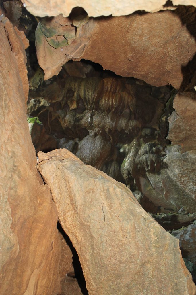
Other speleothems behind the stalagmite. This was likely a dome feature within the cave. Water flows out from small openings from a sinkhole about 500-feet distant.
After exploring the north pit, we went to the active quarry, it is significantly larger. Pit is fifty to seventy feet deep, depending on the location and the topography of the quarry rim. It is all Ste. Genevieve Limestone, though there is a thin greenish shale layer that has been correlated to the Rosiclare Sandstone in the fluorspar district of southern Illinois. For mineral collectors, this quarry is a disappointment. Even the lowest level is above the fluorite zone in the north pit. (The property is basically a hill sloping north and the main pit is the top.)
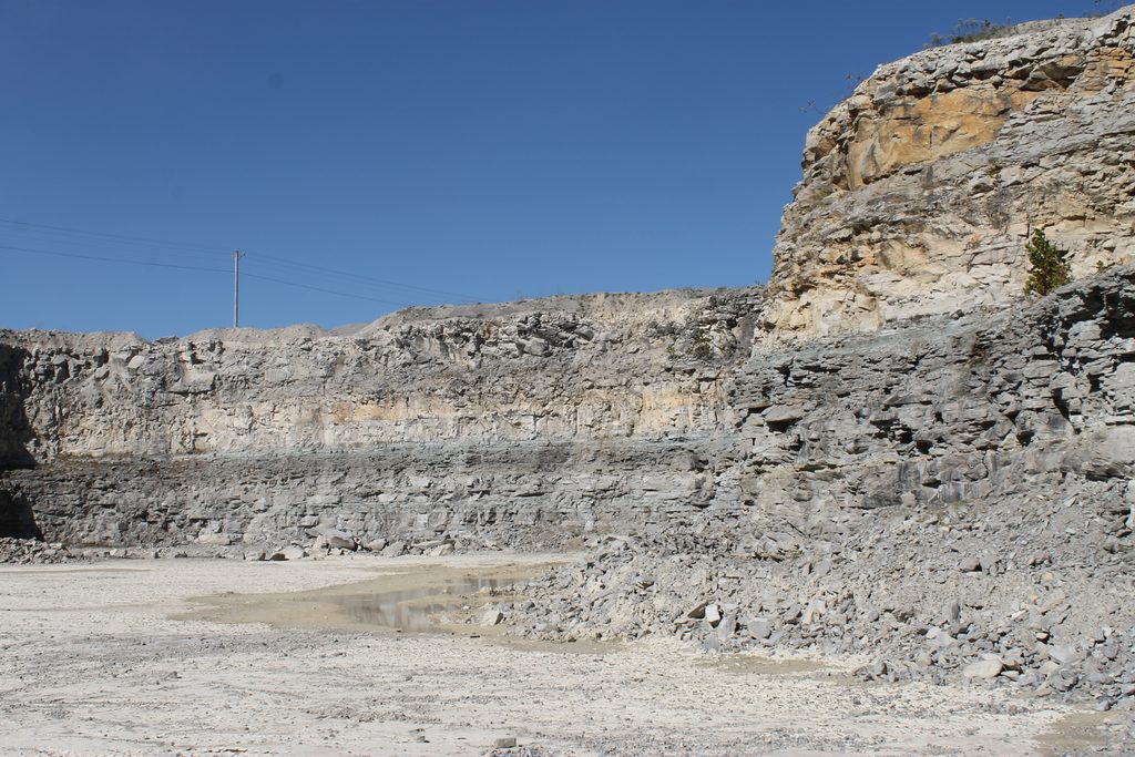
Limestone, limestone everywhere – and crystals are hard to find! The white rock is called oolitic limestone, about 95% calcium carbonate. Great for power plant scrubbers… Between the white and dark gray limestone is a thin shale equivalent to the Rosiclare Sandstone one hundred or so miles west.
For flint knappers and landscapers, the quarry contains abundant chert/flint nodules, some the size of grapefruit and cantaloupe. When they blast, the nodules fly loose like cannonballs!
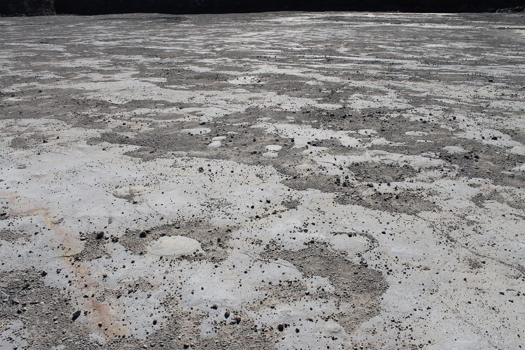
Look closely and you’ll see a lot of round places on the quarry floor. Those are flint nodules.
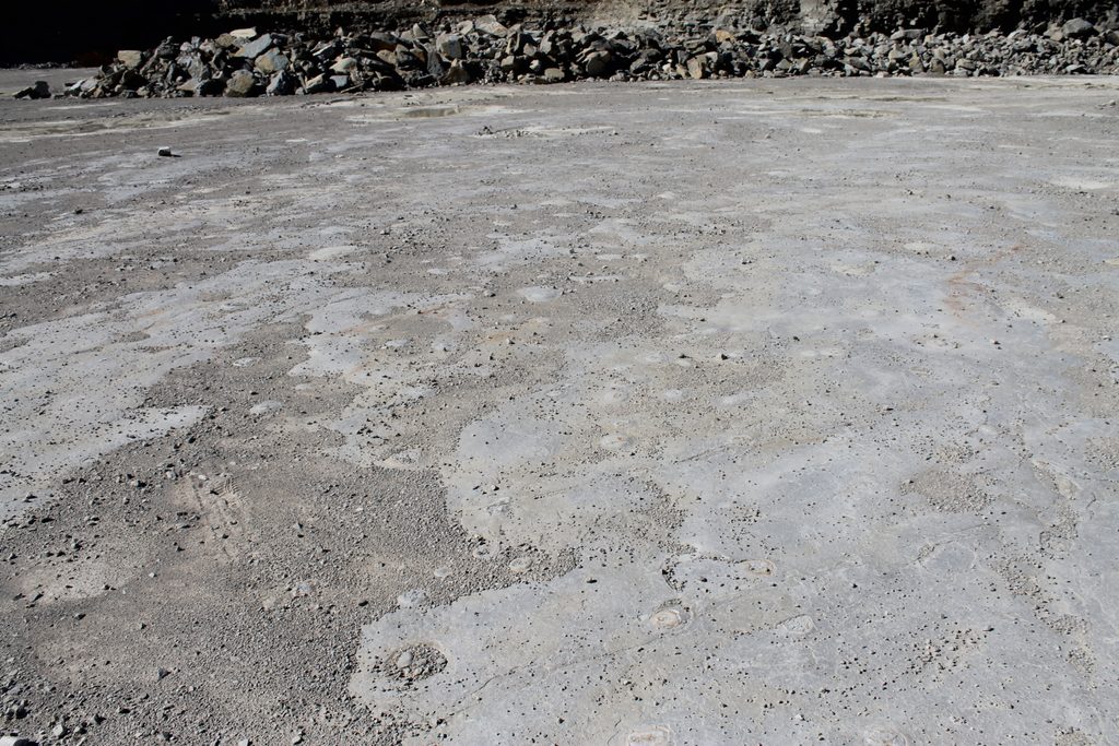
More flint nodules on the quarry floor.
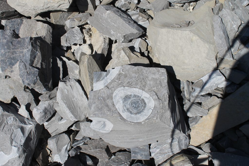
Small boulder with bull’s-eye flint nodules. This beauty now graces my landscaping. These are abundant in the quarry, through some are in rather large rocks!
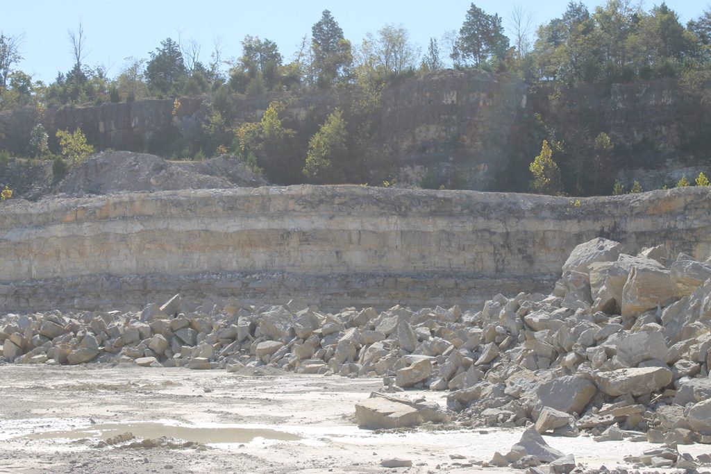
Look closely at the cliff face where the brown and white layers meet. Do you see the mega ripples? These were large scale ripples on the sea floor. We saw these at our crinoid quarry in Elizabethtown in a different formation.
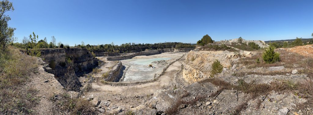
Panoramic photo of the main quarry from the northeast corner. The track hoe is removing a shale bed from the quarry floor.
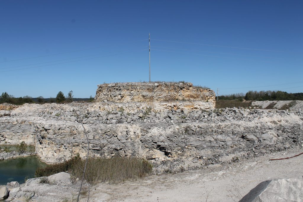
An “island” surrounding a powerline pole. There is ground access behind it, but most inspections are carried out by helicopter.
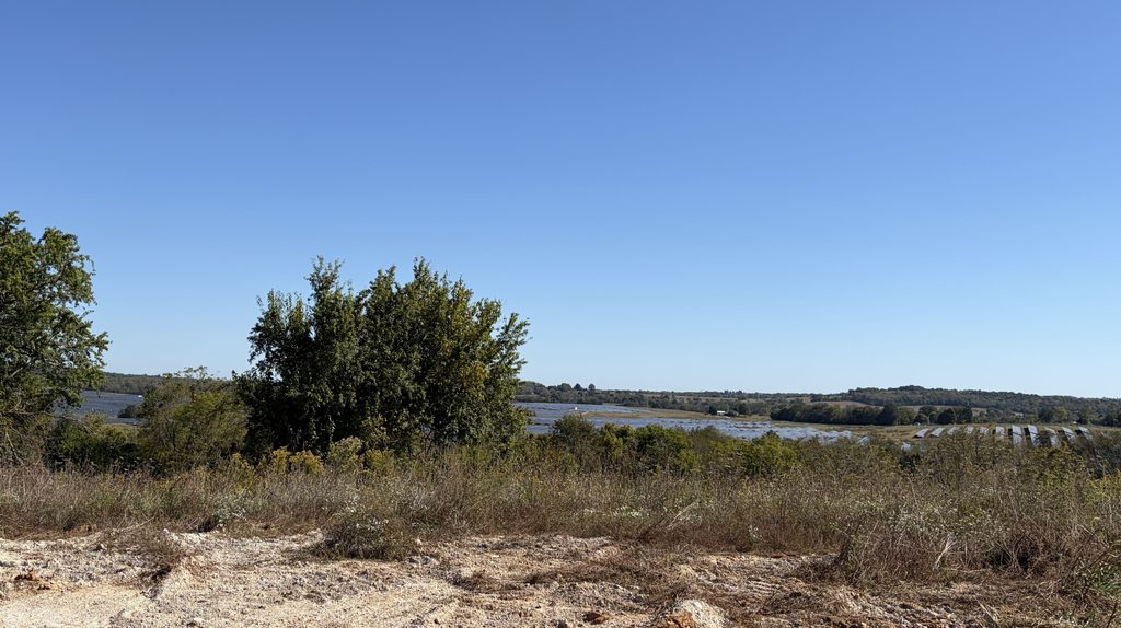
Solar farm next to the quarry – when I first saw it, I thought it was a lake! The red clay here has chert with drusy quartz. Unimpressive as minerals go, but they sparkle in sunlight!
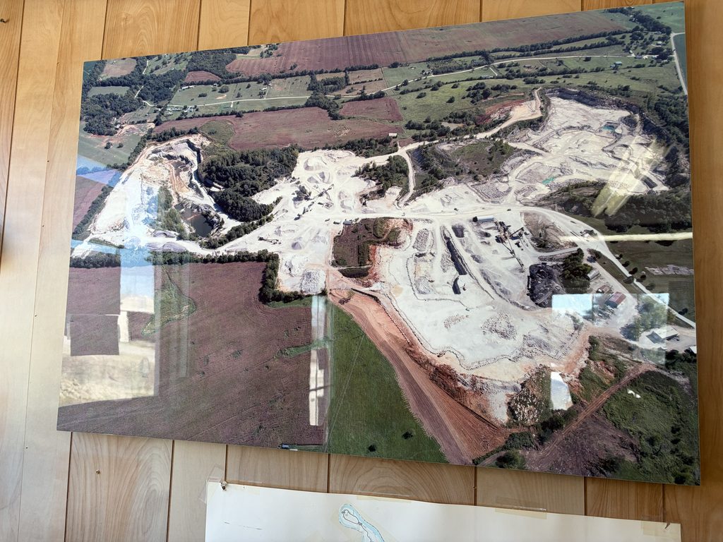
Aerial photo of the Irvington Quarry in the scale house. The north pit is to the left, the active quarry is on the upper right.